The recorded history of West Pennsboro Township began in 1735 when it was part of Pennsborough, one of two original townships in the North Valley.1 This preceded the formation of the county by fifteen years. By 1745, Pennsborough had divided into East and West Pennsboro. In the following years, the township boundaries changed as the population increased and the townships subdivided even more. By 1785, West Pennsboro called the Conodoguinet Creek to the north and what is now known as U.S. Route 11 or Ritner Highway to the south its boundaries.2 (Joseph Ritner, elected Pennsylvania governor in 1835, came from east of Newville.)
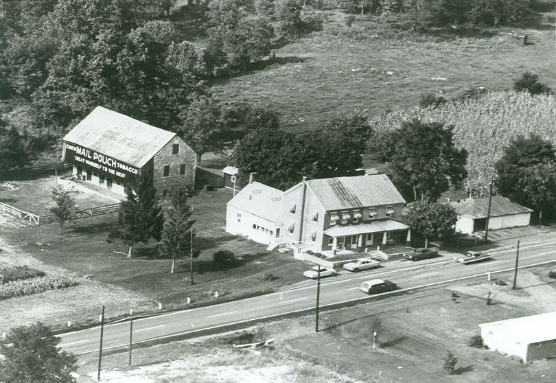
Settlers moved into the area initially to farm. The earliest settlers in the 18th century were largely Irish or Scots/Irish. After the Revolutionary War, German Mennonites as well moved from the Lancaster region into this area.3
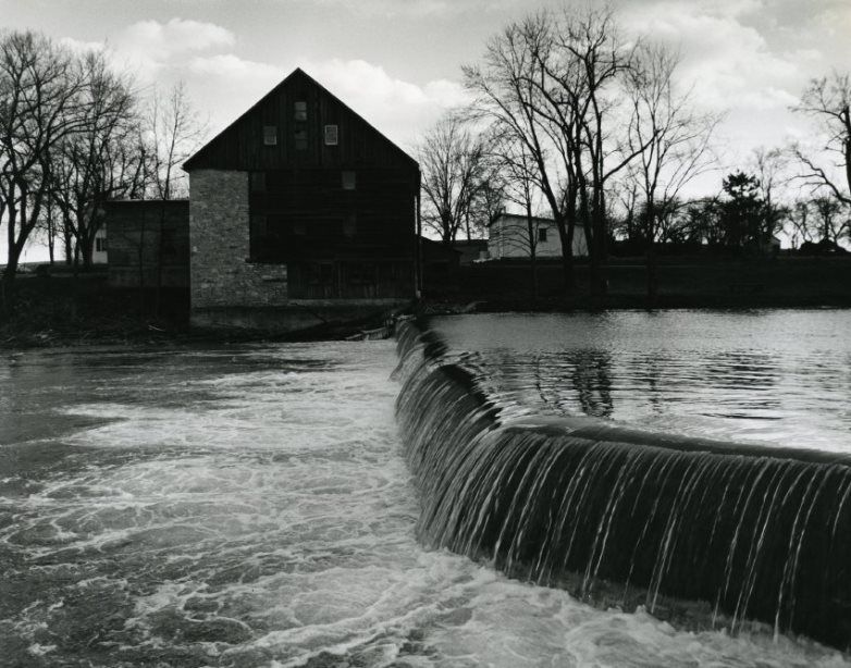
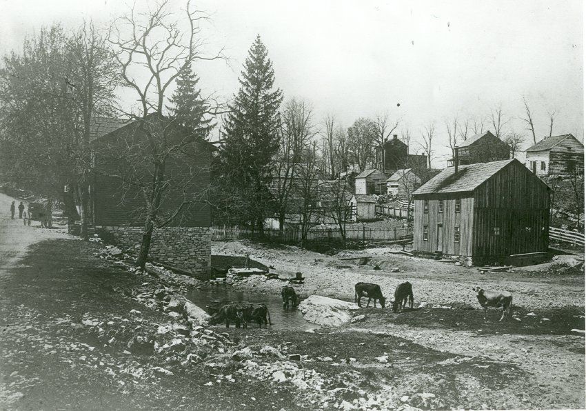
The creek to the north provided water for the several grist mills that emerged to meet agricultural needs. For example, the Laughlin Mill on the Big Spring in Newville (actually within the boundaries of West Pennsboro) was constructed in 1763 by William Laughlin and remained in the family until 1896.4 In total, at least seven mills dotted the Conodoguinet.5
Communities developed in the township area: Newville, Mt. Rock, Plainfield. With these communities came a variety of businesses: taverns,6 hotels, whiskey distilleries,7 ribbon factories, a cigar factory, a coffee distributor, a paper mill, a knitting mill, etc. Churches and schools emerged as the population required.
By 1837, the Iron Horse, or railroad, began to push its way through the Cumberland Valley, and specifically, through West Pennsboro Township. The initial design planned for the track to by-pass Newville, but protests from the citizens got this new mode of transport routed through Newville.8
Early in the twentieth century, a trolley line was built to carry folk between Newville and Carlisle. It began operation in 1910 at a cost of twenty cents for the trip. The electricity to run the trolley came from a power dam on the Conodoguinet Creek.9 But the line was discontinued in 1918. The rapid development of automotive transportation overtook the light rail system and required instead the development of better roads.10 Similarly, the railroad through the township was eventually abandoned.
Today, West Pennsboro Township maintains 61 miles of roads throughout its 30.4 square miles. The Big Spring School District buildings (except one) reside within the township boundaries. The current township population stands at about 5400.11 Although much of the township land is still farmland, far fewer folk actually do the farming in the twenty-first century. Many residents instead commute to nearby communities for their various jobs.


